A Bridge With MAPS Mineralogy PerGeos v1.7
With the introduction of the Maps Mineralogy™ software suite, the successor of Qemscan, the technology has evolved, thanks to multiple patents bringing novel methods to acquire mineralogical information from digital rock samples with a modern and user friendly interface.
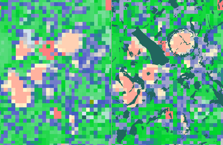
However, given the hardware technology advances and the emergence of new challenges in reservoir rocks, there is a need to fusion the mineralogical image and the back scattered electron image, and to upscale to the microCT data, in order to be able to characterize the mineralogy at a larger scale.
PerGeos brings the image analysis algorithms and workflows to achieve this post processing step in a versatile platform and offers an unprecedented level of repeatability for routine tasks.